Navigating Without Cell Service: Map, Compass, and the Confidence to Use Them
In an age of constant connectivity, the art of traditional navigation offers a profound sense of independence and connection to the wild. Rediscover the timeless tools that empower true outdoor exploration.
Building or refining your kit? See our complete Ultralight Backpacking Gear Guide (2026) — premium picks paired with budget Amazon alternatives for every category.
Navigating Without Cell Service: Map, Compass, and the Confidence to Use Them
Greetings, fellow adventurers! Here at Bucketlist Field Guide, we often speak about seeking out those wild, untamed places – the ones that take your breath away, challenge your spirit, and recharge your soul. But let's be honest, getting to and through these places sometimes means stepping away from the digital tether that often guides our daily lives. I’m talking, of course, about venturing beyond the reach of cell towers, where the comforting blue dot on your phone screen vanishes into the ether. And when that happens, a different kind of navigation comes into play – one that’s as old as exploration itself, and infinitely more satisfying: the map, the compass, and the unwavering confidence to use them.
In our increasingly hyper-connected world, there's a certain quiet rebellion, a profound sense of autonomy, in knowing you can find your way using only your wits and a few simple tools. It transforms a hike from a guided tour into a true expedition, where you are the architect of your journey. It’s not about rejecting technology entirely – GPS devices and downloaded maps certainly have their place as backups – but rather about cultivating a foundational skill that grounds you in the landscape and builds a deeper relationship with the wilderness.
The Unwavering Duo: Map and Compass
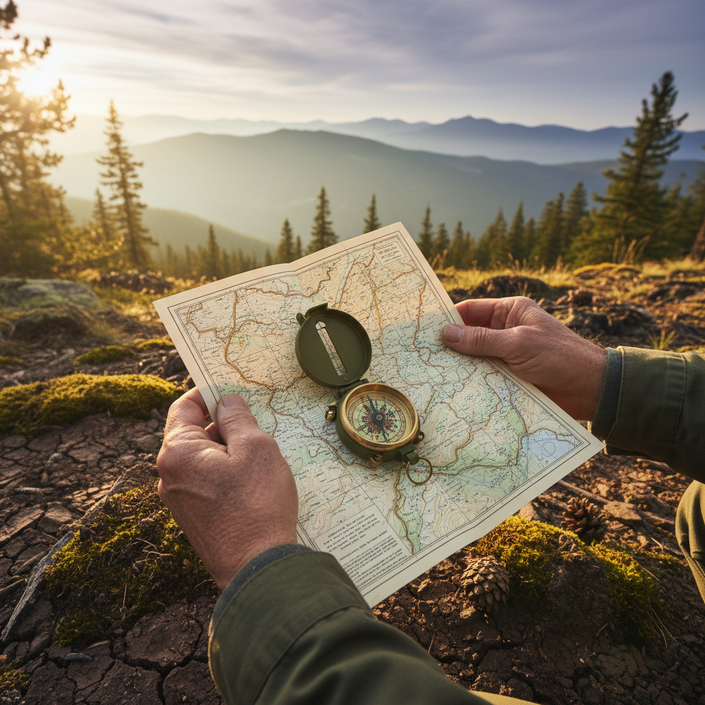
Think of your topographic map as the story of the land, laid out for you to read. It tells you about elevation changes, water sources, trails, and potential hazards. It's a conversation with the landscape, revealing its contours and features. But a map, alone, is a static picture. It's the compass that breathes life into it, orienting that story to your current reality. Together, they form an indispensable team, allowing you to pinpoint your location, plot a course, and maintain your bearing even when the trail disappears or conditions become challenging.
Learning to interpret contour lines, distinguish between true and magnetic north, and take a bearing might seem daunting at first, but like any skill, it's built one step at a time. Start in your local park, comparing what you see on the map to the real world. Practice orienting the map, identifying landmarks, and walking a predetermined bearing. The more you practice, the more intuitive it becomes, and the more you’ll marvel at how these two simple items unlock the secrets of the terrain around you.
Building Your Navigational Confidence
Confidence isn't something you're born with; it's something you earn through knowledge and practice. The beauty of traditional navigation is that every successful bearing taken, every correctly identified landmark, every time you know where you are without a digital assist, builds that confidence. It fosters a sense of self-reliance that extends far beyond the trail. It’s about trust – trusting your judgment, trusting your skills, and trusting the tools in your hand.
One of the biggest mistakes newcomers make is to rely solely on their phone until the battery dies or service drops, then panic. Instead, treat your map and compass as your primary navigation tools. Use your phone’s GPS as a check, not as your sole guide. Make a habit of regularly checking your map, identifying features, and understanding your position relative to them. This active engagement with your surroundings is key to developing instinct and maintaining situational awareness.
The Deeper Reward: Connection to Place
Beyond simply not getting lost, mastering navigation with map and compass offers a profound reward: a deeper connection to the place you're exploring. When you're actively interpreting terrain, cross-referencing features, and listening to the subtle cues of the environment, you become truly present. You notice the way the creek bends, the subtle rise of a ridge, the direction the sun casts shadows. You’re not just passing through; you’re engaging with the land on its own terms.
This isn't just about safety; it's about enriching your outdoor experience. It's about the satisfaction of charting your own course, of reading the narrative of the wild world around you, and of returning home with not just memories, but a tangible skill that empowers you to explore more freely, more confidently, and more deeply. So, dust off that compass, unfold that map, and let Bucketlist Field Guide inspire you to discover the incredible world that awaits beyond the reach of your signal.
<!-- seo-rank-booster:v1 -->Frequently Asked Questions
Can I use my phone for navigation without cell service?
Yes, you can use your phone's GPS for navigation by downloading offline maps in apps like Gaia GPS or AllTrails before your trip. However, this method relies on battery power, which can fail in cold weather or on long trips. For this reason, it's critical to also carry a physical map and compass as a reliable, battery-free backup.
What are the essential tools for backcountry navigation?
The two most essential tools for navigating without cell service are a topographic map of your specific area and a quality baseplate compass. The map provides the detailed story of the terrain, including elevation, water sources, and trails. The compass orients that story to your real-world surroundings, allowing you to determine your direction of travel and location.
How do you navigate with just a map and compass?
At its core, navigating with a map and compass involves three key steps. First, you orient your map to match the landscape, usually by aligning it with magnetic north using your compass. Second, you identify features on the map and in the world around you to pinpoint your location. Finally, you can take a bearing from your location to your destination, allowing you to follow a precise direction.
Is a satellite communicator or GPS device a substitute for a map and compass?
While dedicated GPS devices and satellite communicators are powerful tools, they should be considered supplements, not substitutes, for traditional navigation skills. Electronics can fail, batteries can die, and satellites can have trouble connecting in deep canyons or dense forest. Foundational skills with a map and compass are your most reliable system for ensuring you can always find your way.
What is the best way to practice wilderness navigation?
Start in a familiar environment, like a large local park or state forest with a good trail system. Practice orienting your map, identifying landmarks, and taking bearings to visible points. As your confidence grows, progress to less-defined terrain, intentionally stepping off-trail for short distances and navigating your way back. Consistent practice is the key to building instinctive and reliable skills.
Related on Bucketlist Field Guide
- Presidential Traverse — A demanding multi-day hike where reliable navigation skills are essential, especially in the notoriously unpredictable weather.
- Hoh River Trail to Blue Glacier — This long backcountry trail into the Olympic wilderness is a prime example of where you'll be navigating far beyond cell reception.
- Skyline Trail Loop — A classic alpine hike where snow can obscure the path well into summer, making a map and compass crucial for staying on track.
- ZOLEO Satellite Communicator — Learn about a modern device that complements traditional skills by providing SOS and messaging capabilities deep in the backcountry.