
Mount St. Helens Summit via Monitor Ridge
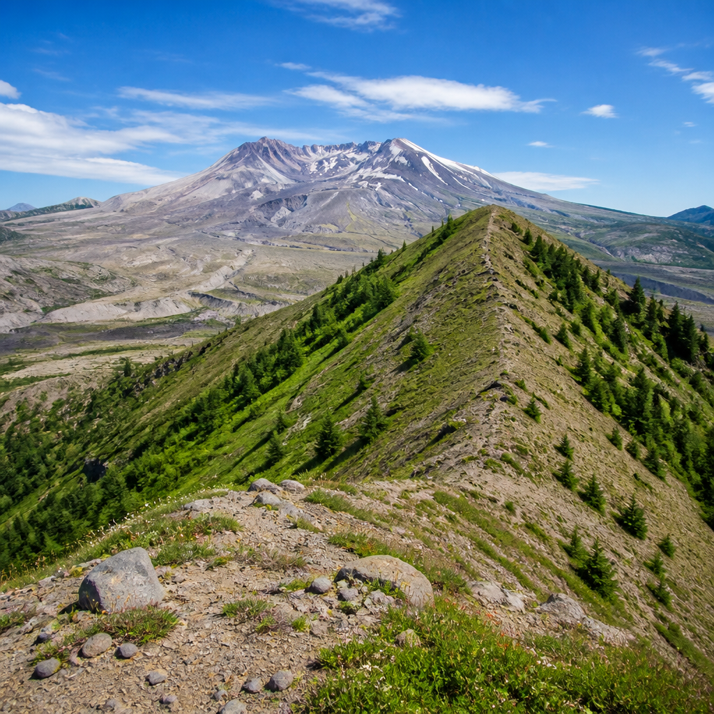
Ascend to the crater rim of an active volcano for an unforgettable view into the heart of geological upheaval. This strenuous but non-technical summer climb rewards hikers with a panorama of the Cascades and a direct look at the lava dome steaming within the 1980 eruption crater. It's a raw, powerful landscape that stands as one of the most unique summit experiences in North America.
- Difficulty
- hard
- Distance
- 8.5 mi
- Elevation gain
- 4500 ft
- Permit
- Not required
Why It's Special
Standing on the summit of Mount St. Helens is less a hike and more a pilgrimage to the epicenter of modern geological history. In 1980, the volcano erupted with a force that reshaped the mountain and the surrounding landscape for hundreds of square miles. Today, the Monitor Ridge route allows determined hikers to climb to the south rim of the crater, offering a staggering, front-row seat to the aftermath and ongoing rebirth. From the rim at 8,365 feet, you can peer directly into the mile-wide breach, watch steam rise from the growing lava dome, and gaze across the blast zone to Spirit Lake.
The journey itself is a dramatic transition through ecosystems. You begin in a quiet forest, emerge onto a rugged lava flow, and then begin the arduous final ascent up steep slopes of pumice and ash—or, in early summer, snow. The reward for this effort is not just the view into the crater but also an unparalleled 360-degree vista that, on a clear day, includes the Cascade titans of Mount Rainier, Mount Adams, and Mount Hood. It’s a humbling, physically demanding, and profoundly memorable adventure.
Best Season
The prime climbing season runs from late spring through early fall, typically May through October. However, the absolute sweet spot for many is early to mid-summer, from June through July. During this window, the upper mountain is still draped in a consolidated snowpack. This provides a more direct and often less tedious path to the summit compared to the loose, soul-crushing scree and ash of late summer.
Furthermore, the snow cover allows for the hike's most celebrated feature: the glissade. After a grueling ascent, climbers can slide down thousands of vertical feet in mere minutes in established snow chutes, a thrilling and efficient reward. By August, the route is mostly snow-free, turning the climb into a long, dusty slog. Winter ascents are possible but are a serious mountaineering endeavor requiring advanced skills and avalanche awareness.
Logistics
Permits: A climbing permit is mandatory for anyone traveling above 4,800 feet (the timberline) and is strictly enforced. From April 1 to October 31, permits are limited to a daily quota and must be purchased in advance from Recreation.gov. They are released in one-month blocks on the first day of the preceding month (e.g., June permits are released on May 1) and sell out extremely fast for summer weekends. Plan ahead.
Getting There: The trail begins at Climber's Bivouac Trailhead on the southern flank of the mountain, accessed via Forest Roads 830 and 81 near Cougar, Washington. The drive from Portland is about 2.5 hours. While a 4x4 is not required, the final forest roads can be bumpy. The parking lot can fill up early, especially on weekends.
Gear: This is a serious mountain environment. The Ten Essentials are non-negotiable. Key gear includes sturdy, waterproof hiking boots, trekking poles (critical for stability on both ash and snow), and robust sun protection (high-SPF sunscreen, sunglasses, wide-brimmed hat). For an early-season climb, microspikes or crampons and an ice axe are highly recommended for safety on the steep snowfields. Gaiters are also a lifesaver for keeping scree and snow out of your boots.
Pro Tips
Start Early: An alpine start (beginning your hike well before sunrise) is standard practice. This allows you to climb on firmer snow, minimizes exposure to afternoon sun, and helps you avoid the common afternoon thunderstorms that can build over the Cascades. Finishing with daylight to spare is a significant safety advantage.
Navigation is Key: Above the treeline, the route is marked by a series of tall wooden posts. While seemingly straightforward on a clear day, these can become nearly invisible in fog or a whiteout. Do not rely on them alone. Carry a map and compass, and have the route pre-loaded onto a GPS device or a reliable navigation app on your fully charged phone.
Embrace the Glissade: On your descent, look for the well-worn glissade chutes in the snow. To do it safely, wear waterproof pants, stow sharp objects, and use your ice axe as a brake by holding it in the self-arrest position. Always look down the chute to ensure it's clear of rocks or other climbers before you start.
Respect the Cornice: The edge of the crater rim is an unstable overhang of snow known as a cornice. It can collapse without warning. Heed all posted signs and stay a safe distance back from the edge; the view is just as spectacular, and your life is not worth the risk.
Must-use gear on Mount St. Helens Summit via Monitor Ridge
Field-tested picks matched to this terrain. Links are affiliate — they keep the field guide free at no extra cost to you.

Two-way satellite messaging and an SOS button the size of a key fob. If you hike alone, you want this.

The only sock with a true lifetime guarantee. Merino blend, perfect cushioning, zero blisters across hundreds of miles.
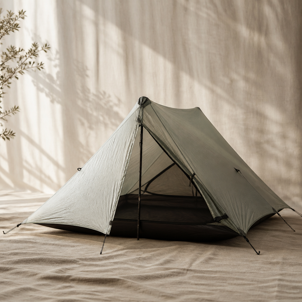
The Durston X-Mid Pro 2 redefines what's possible in an ultralight, two-person trekking pole shelter, offering palatial space and storm-worthy performance at a staggeringly low weight. By utilizing Dyneema Composite Fabric and a brilliant offset pole design, it delivers exceptional livability without the typical compromises of minimalist shelters.
Recommended footwear for this terrain

The best all-around day-hiking boot we tested in 2026. Light, grippy Contagrip outsole, dialed lacing, waterproof without feeling like a sauna.
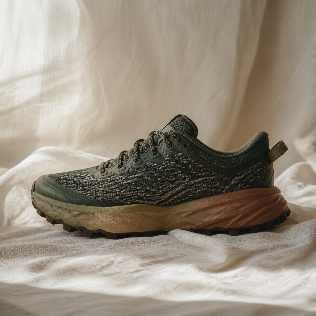
The HOKA Speedgoat 5 continues its reign as a trail-running and hiking favorite, offering unparalleled cushioning for an exceptionally comfortable ride over long distances. Its redesigned Vibram Megagrip outsole with Traction Lugs provides tenacious grip on the most demanding technical terrain, making it a go-to for serious adventurers.
Best hydration for this trail
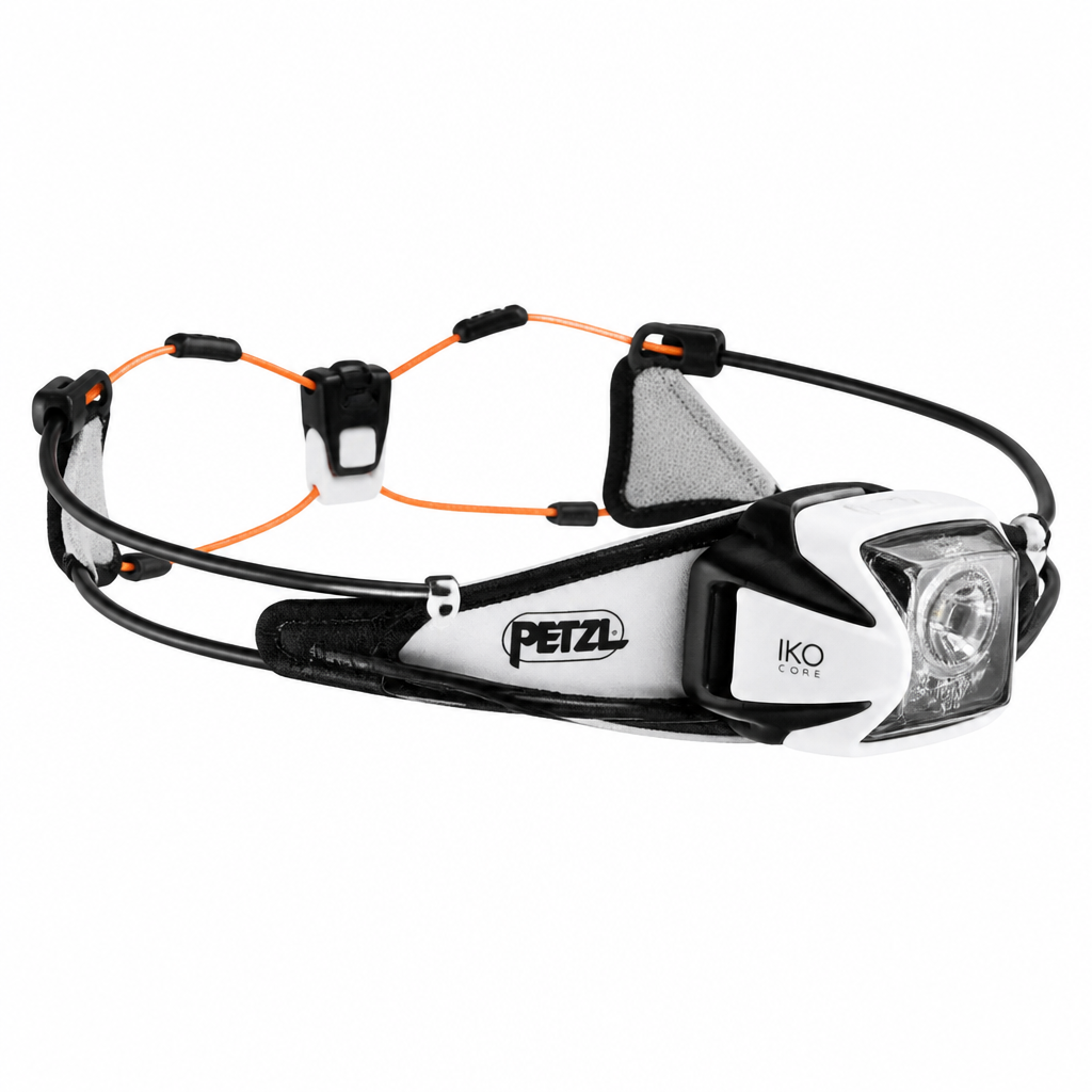
The Petzl Iko Core is a revolutionary rechargeable headlamp that challenges traditional design with its ultra-light, semi-rigid AIRFIT headband. It offers exceptional comfort and balanced weight distribution, making it nearly unnoticeable during high-output activities like trail running and fastpacking.
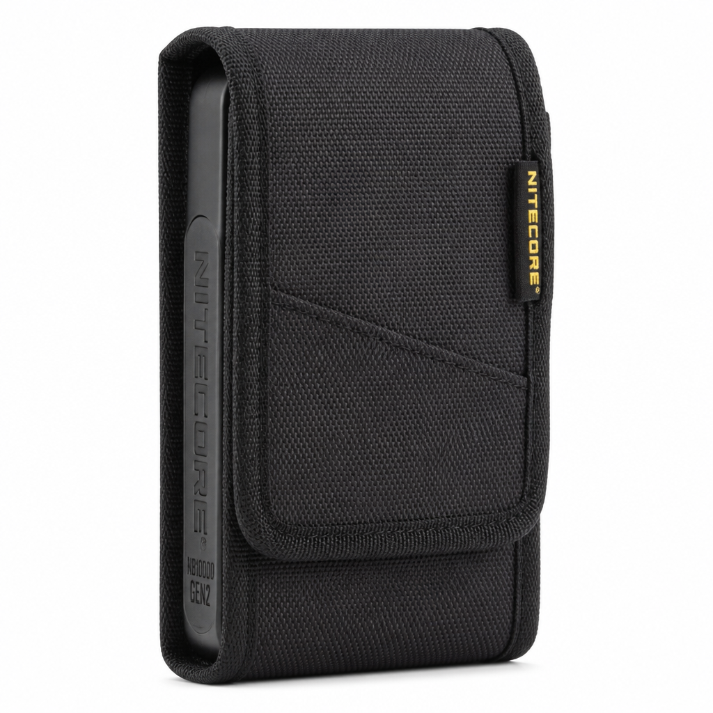
The Nitecore NB10000 Gen 2 is the gold standard for ultralight power banks, packing a massive 10,000mAh capacity into a carbon fiber frame that weighs a mere 5.3 ounces. It's the go-to choice for thru-hikers and weekend warriors who need to keep essential electronics charged without adding punishing weight.