
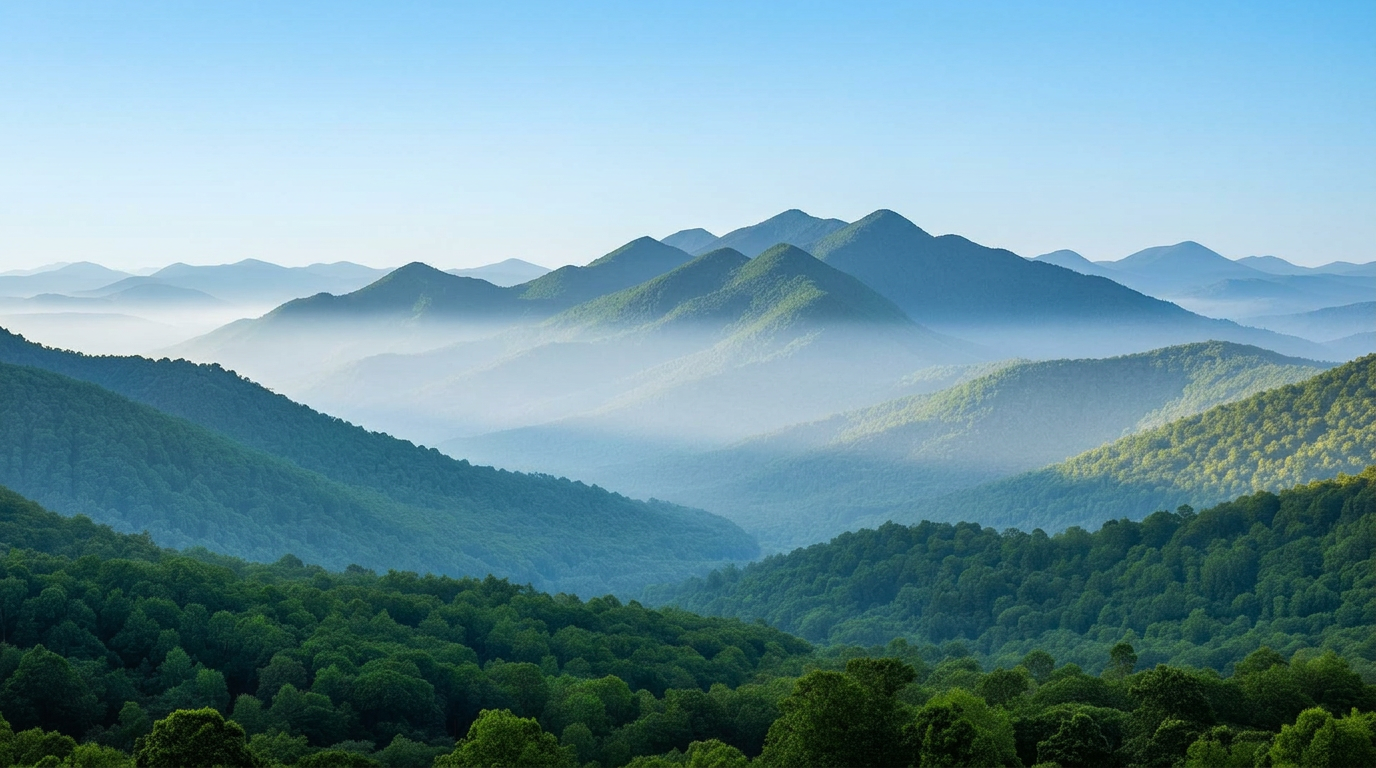
Highest point east of the Rockies. 1 mi with about 1,500 ft of elevation gain. Expect a steady workout with some sustained climbing — solid footwear and a couple of liters of water are recommended.
- Distance:
- 7.1 mi
- Gain:
- 1,500 ft
- Type:
- Loop

The standout trail in every US state — with mileage, elevation gain, difficulty, season notes, and a live trail map. Pick a state and start planning the next weekend out.
Highest point east of the Rockies. 1 mi with about 1,500 ft of elevation gain. Expect a steady workout with some sustained climbing — solid footwear and a couple of liters of water are recommended.
Wooden-ladder climb to a Badlands overlook. 5 mi with about 150 ft of elevation gain. Expect a steady workout with some sustained climbing — solid footwear and a couple of liters of water are recommended.
Granite spires and ladders below Sylvan Lake. 0 mi with about 700 ft of elevation gain. This is a challenging hike with real elevation and exposure in places; start early, pack layers, and check current trail conditions before you go.
Cathedral-like granite needles on Trail #4. 2 mi with about 800 ft of elevation gain. Expect a steady workout with some sustained climbing — solid footwear and a couple of liters of water are recommended.
Longest trail in Badlands NP. 0 mi with about 250 ft of elevation gain. Expect a steady workout with some sustained climbing — solid footwear and a couple of liters of water are recommended.
Wood-ladder climb to a canyon-rim overlook. 5 mi with about 150 ft of elevation gain. Expect a steady workout with some sustained climbing — solid footwear and a couple of liters of water are recommended.
Sacred Lakota/Cheyenne summit with Black Hills panorama. 6 mi with about 1,000 ft of elevation gain. This is a challenging hike with real elevation and exposure in places; start early, pack layers, and check current trail conditions before you go.
Granite-island lake walk under the Needles, an easy Black Hills classic. 1 mi with about 100 ft of elevation gain. It is a beginner-friendly route that families and casual day hikers can comfortably complete, even in shoulder seasons.
Squeeze through Needles Eye and up among the granite spires off Needles Highway. 4 mi with about 750 ft of elevation gain. Expect a steady workout with some sustained climbing — solid footwear and a couple of liters of water are recommended.
Limestone-canyon stroll along Little Spearfish Creek to a tiered waterfall. 2 mi with about 200 ft of elevation gain. It is a beginner-friendly route that families and casual day hikers can comfortably complete, even in shoulder seasons.